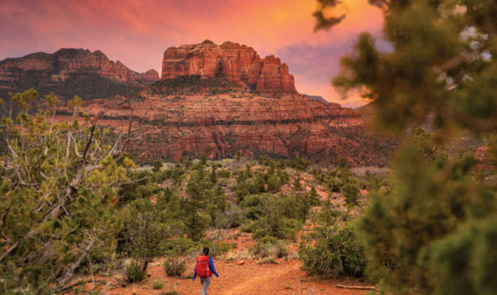
CAMELBACK MOUNTAIN
Camelback Mountain, with an elevation of 2,704 feet, is an excellent hike or climb in Arizona. Hiking Camelback Mountain is perfect for a tourist activity in Phoenix, because the hike is quick and is located in the middle of the Phoenix Valley with great views. Camelback Mountain is a hiking destination for both locals and tourists in the Valley and is located in the Camelback Mountain Echo Canyon Recreation Area between Phoenix, Scottsdale and Paradise Valley. Camelback became a Phoenix city park in 1968 and hiking it is one of the top 10 things to do in Phoenix according to Trip Advisor. The most common Flora on the Mountain are the Saguaro Cactus, Ocotillo, Palo Verde, Cholla, Barrel Cactus and the Creosote Bush. Rescues on the Mountain happen often so please proceed with CAUTION and know your limits. It is important to leave the Mountain the way you found it so whatever you bring in be sure to bring it back out. There are 2 hiking trails, Echo Canyon and Cholla. Both trails are difficult, while Echo Canyon is steeper and Cholla is longer. Parking for both trails is only allowed from sunrise to sunset so plan accordingly. When hiking use proper trail etiquette and remember ascending hikers have the right of way. On ClimbCamelback.com you can purchase Camelback Mountain Apparel to commemorate your achievement. Also, you can schedule a guided hike up Camelback Mountain, see how fast others hike Camelback Mountain, as well as post your time to hike to the Camelback Mountain Summit.
Location: Phoenix, AZ
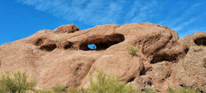
PAPAGO PARK – HOLE IN THE ROCK TRAIL
The popular Hole in the Rock at Papago Park is the perfect place to take in the views and capture some unique photos! Papago Park is located right next to the Phoenix Zoo. The park is known for its rock formations and short hiking / running trails. The main attraction, the Hole in the Rock, at the top of the short trail, is a great place to take pictures as it is one of the highest points in the area and it offers great views of the rest of the park. To get there, simply park in the parking lot (if the small parking lot is full, don`t fret. The Phoenix Zoo is right next to the park and you can find room to park there) Once parked follow the Hole In The Rock trail around the back of the rock formation. The trail is short and only gains about 200 feet of elevation so even children can do it. Just make sure to be careful, as the trail is rocky and it can be easy to trip or twist an ankle. From the lookout area at the end of the trail you will be able to look through the hole and see a few small lakes where you can fish. If you turn around and face away from the hole in the rock you will also be able to see a few other trails that meander around the park.
Location: Phoenix, AZ

PINNACLE PEAK PARK
Explore this 4.0-mile out-and-back trail near Scottsdale, Arizona. Generally considered a moderately challenging route, it takes an average of 2 h 14 min to complete. This is a very popular area for birding, hiking, and rock climbing, so you`ll likely encounter other people while exploring. The trail is open year-round and is beautiful to visit anytime.
Location: Scottsdale, AZ
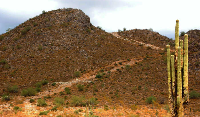
SILLY MOUNTAIN
Silly Mountain is located inside Silly Mountain Park, on the edge of Apache Junction and Gold Canyon. There are a total of 10 hiking trails, plenty of space to mountain bike and even a Botanical Walk accessible to people of all ages and is also stroller/wheelchair accessible. The mountain was originally named “King`s Mountain” for local businessman William N. King, who owned a small ranch at the foot of the mountain in the early 20th century.
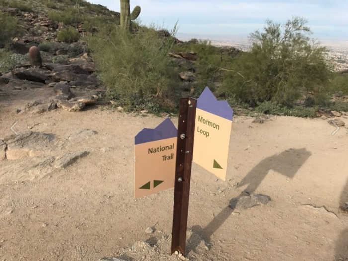
SOUTH MOUNTAIN – MORMON LOOP TRAIL
The Mormon Loop Trail is a great option for those wishing to tackle a less strenuous climb than what the National Trail has to offer while experiencing nearly the same caliber of view. Along the trail, expect the tread to be rocky in places, but it`s nothing unmanageable by those of reasonable fitness and balance. Trailside flora and fauna include organisms typical of the Sonoran Desert: keep your eyes peeled for cholla, saguaro and barrel cactus, juniper, and numerous species of lizard.
Location: Phoenix, AZ
SUPERSTITION MOUNTAINS – HEIROGLYPHIC TRAIL
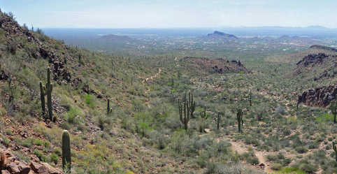
Most hikes into the Superstition Mountains east of Phoenix begin from the north side, accessed via the Apache Trail, and tend to be rather long and relatively little-used, but one of the shortest, easiest reached and therefore most popular routes starts in the south, at the edge of the expanding community of Gold Canyon along US 60. The 1.5 mile Hieroglyphic Trail climbs a gentle slope covered with many cacti then enters the lower end of a boulder-filled canyon, ending at a rocky section where pools persist for much of the year, a location important for the ancient Hohokam Indians, who inhabited this desert region up to 1,500 years ago. Evidence of their settlement includes hundreds of petroglyphs etched into the dark, weathered surface of the basalt cliffs above the pools, some with very intricate designs. This scenic location is high enough for a long-distance panorama southwest over Gold Canyon and the Gila River plain, and also provides close-up views of the jagged upper slopes of the Superstition Mountains to the north, rising over 2,000 feet higher.
Location: Gold Canyon, AZ
WHITE TANK MOUNTAINS – WATERFALL TRAIL
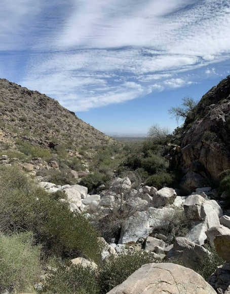
Discover this 1.8-mile out-and-back trail near Waddell, Arizona. Generally considered an easy route, it takes an average of 45 min to complete. This is a very popular area for hiking, running, and walking, so you`ll likely encounter other people while exploring. The best times to visit this trail are November through April. Dogs are welcome, but must be on a leash. $7 entry fee.
Location: Surprise, AZ

